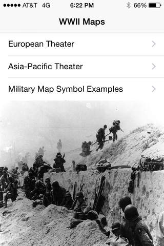


WWII Maps app for iPhone and iPad
Developer: Matthew Montaquila
First release : 21 May 2015
App size: 60.76 Mb
WWII Maps is a collection of military maps about major campaigns and operations in the Second World War. Maps both from the European and Pacific theaters are in the app. Also many photographs from World War 2 are also in the app. WWII Maps is perfect for both historians and casual readers.
Features:
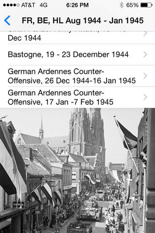
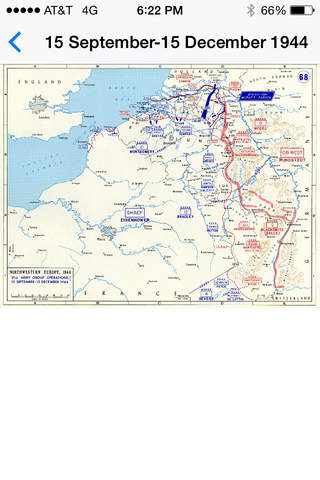
- Over 100 Maps
- Over 20 WWII photographs
- Examples of NATO military symbols
- Zoom
- Pan
- Landscape and Portrait
Credits: All Maps except the North Sea Naval Operations map (courtesy of UK Government), Bastogne and Sixth Panzer Army Attack maps (courtesy of US Government, scanned from book: US Army in World War II - The Ardennes: The Battle of the Bulge according to wikipedia) are courtesy of the United States Military Academy / West Point.
Photographs are courtesy of the Japanese National Archive, Bundesarchiv, United States National Archive, Greek Government, UK Government, Russian International News Agency, United States Navy Naval History and Heritage Command, and the Imperial War Museum.